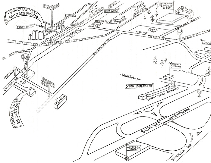
This early map from the May 1, 1959 ScopeScoop shows the Beaverton and Sunset plants along with organizations in various locations around the area.
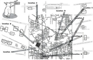
This March 15, 1960 TekTalk map shows 8 different locations in the Beaverton area. Click on the image to view the PDF.
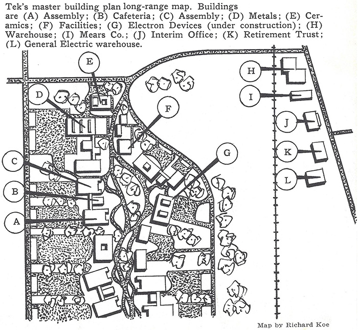
This May 22, 1961 TekTalk map shows the master plan for the Beaverton Campus. The west end of the campus is quite different from this plan.
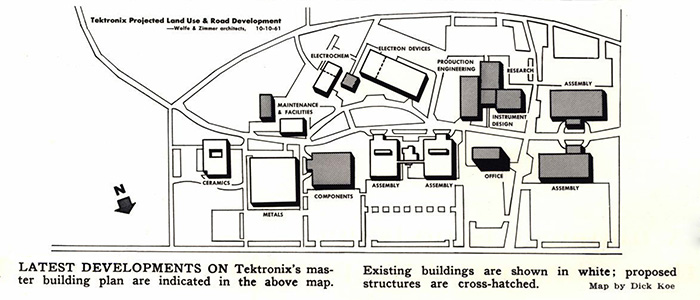
This February 1962 TekTalk map shows the planned development of the west end of the Beaverton campus. The proposed buildings shown are different from the previous plan and from final construction.
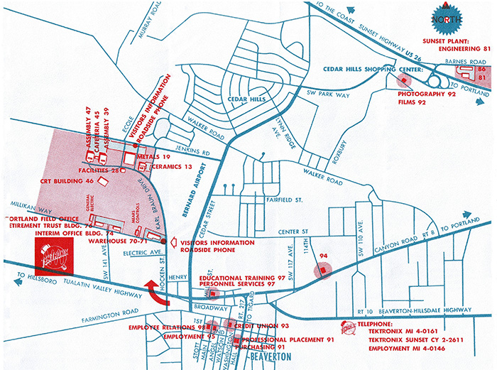
A later map from June of 1963 shows both the Beaverton campus as well as the Sunset location along with a number of remote sites scattered throughout the area.
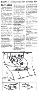
This map from the September 29, 1968 Open House program shows an incomplete but more familiar campus.
This map from the September 10, 1971 Tekweek features another Open House. Click on the image to view the PDF.
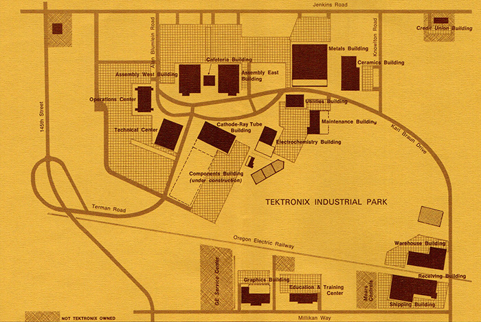
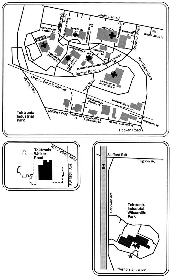
This undated map is from the late 1970s shows the purchase of the initial Walker Road building and proposed expansion. Also building 63 has not been constructed at the Wilsonville site.
This map is from the 1979 Employee Handbook. For some odd reason the Beaverton campus map is shown with North towards the bottom and no numbers on the buildings for the other sites.
This is the latest campus map of the Beaverton site from 2025. Click on the image to view the PDF.
This document is a listing of Tektronix Building Locations and is a work in progress. Click on the image to open a PDF.
