As we continue to work our way through our archive of photos, we run across some that are a bit out of the ordinary. They may be humorous or unique but they stand out from the other photos. We post new photos here monthly with the previous photos in the slideshow.
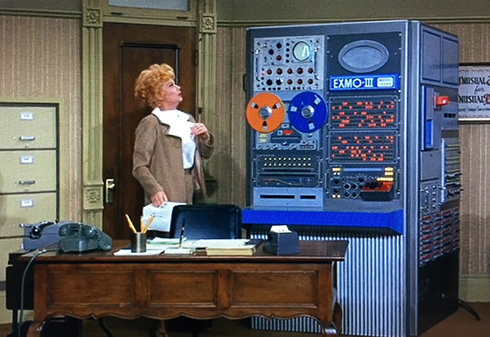
Our February Photo of the Month is a screenshot from an episode of Here’s Lucy from January 17, 1972. Lucille Ball’s character plays a single mother working for her brother-in-law at his employment agency. One morning Lucy arrives at work to find a large computer, the EXMO-III, at her desk that is potentially destined to be her replacement. The “computer” incorporates a Tektronix RM52A oscilloscope with a Type A 20 MHz amplifier plug-in. This is another example of the longstanding practice where movie and television directors or producers introduce an oscilloscope with a waveform running to give an indication that high technology is involved.
The episode can be viewed on Amazon Prime. [External link]
There are more examples of Tektronix products in our Products In Movies And Shows page.
Photos of the Month: Jan 2025 - Present
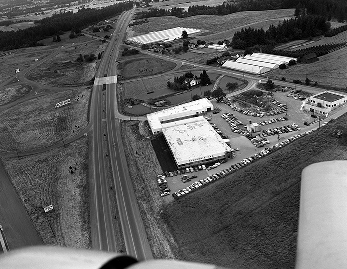 Jan 2025 POM: Earliest photo of Sunset - late 1951/early 1952
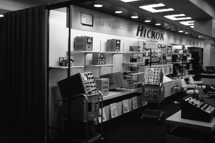 Feb 2025 POM: Hickok trade show booth with clone scopes
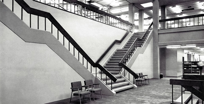 Mar 2025 POM: Building 50 Technical Center grand stairway
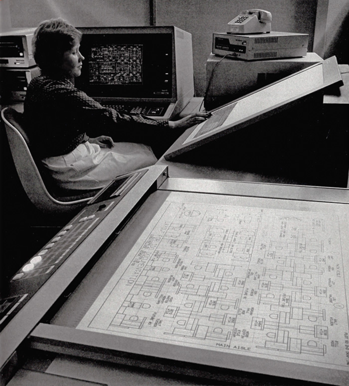 Apr 2025 POM: A woman using a suite of IDD CAD products.
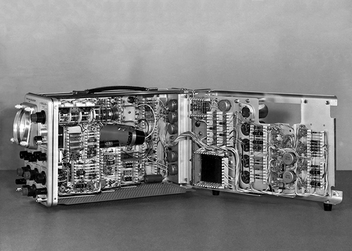 May 2025 POM: The 310A's remarkable high density design.
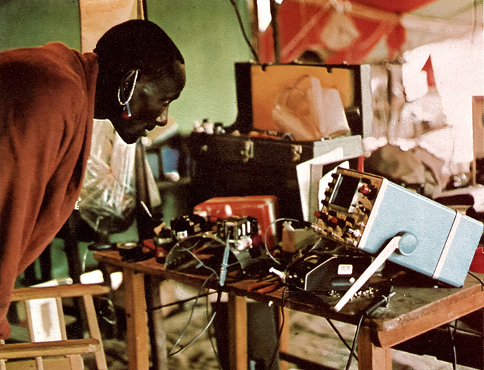 June 2025 POM: A Masai warrior's curious look at the 422 oscilloscope in Kenya.
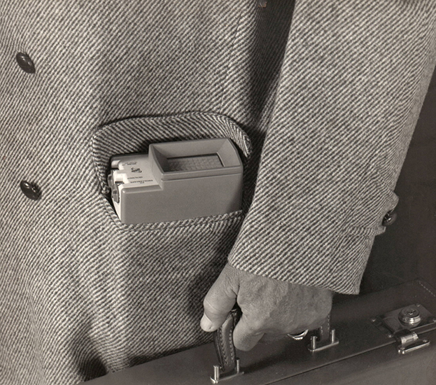 July 2025 POM: Photo from the 211 miniscope ad.
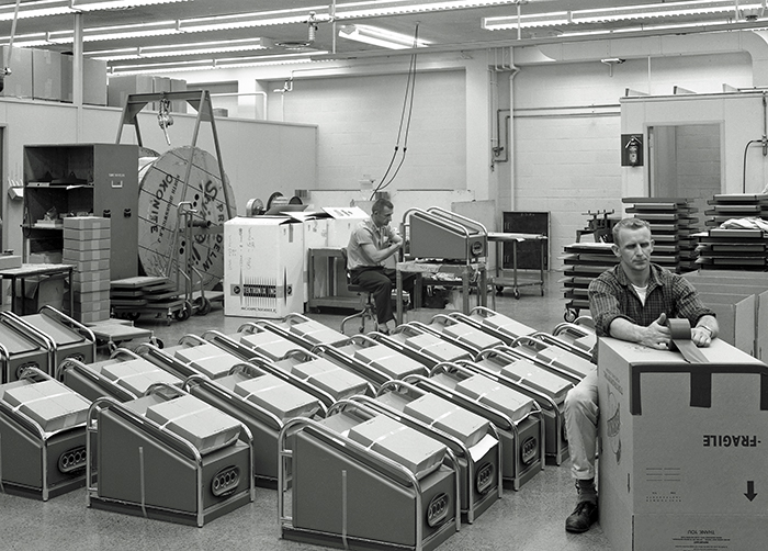 August 2025 POM:R-500 Scope-Mobiles and Spir-o-line.
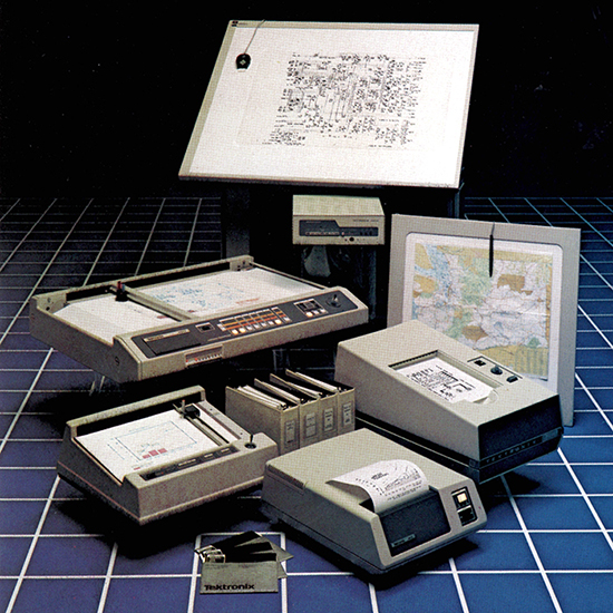 Sept 2025 POM: IDG hard copy related products
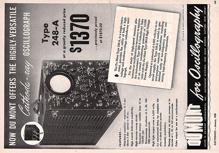 Oct 2025 POM: An ad for the DuMont 248, primary competitor to the 511
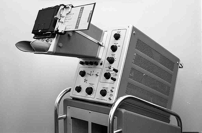 Nov 2025 POM: Type 507 oscilloscope with unique camera
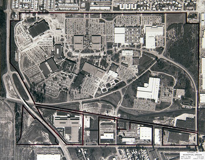 Dec 2025 POM: High aerial view BV campus April 2, 1980
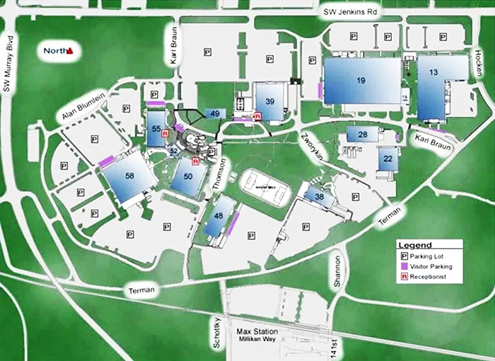 Jan 2026 POM: Tektronix campus map highlighting the road names.
 Feb 2026 POM: Here's Lucy S4 E19 with RM52A & Type A
Photos of the Month: Feb 2019 - Dec 2024
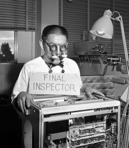 Feb 2019 PoM - Clyde Faber, actual final inspector, poses for February 1957 TekTalk article
 Mar 2019 PoM - Processing selenium rectifiers at the Sunset Plant in 1957
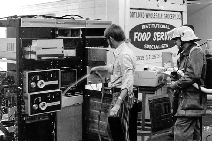 Apr 2019 PoM - Jim Geddes washing a DEC minicomputer after a water leak dissolved the ceiling tiles - and it worked!
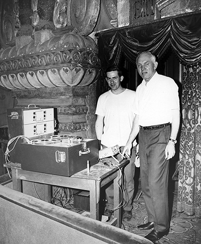 May 2019 PoM - Howard Vollum & Dennis Hedberg at Oriental Theater with Dynatrack 3M tape recorder in 1969. Photo by Rodgers Jenkins.
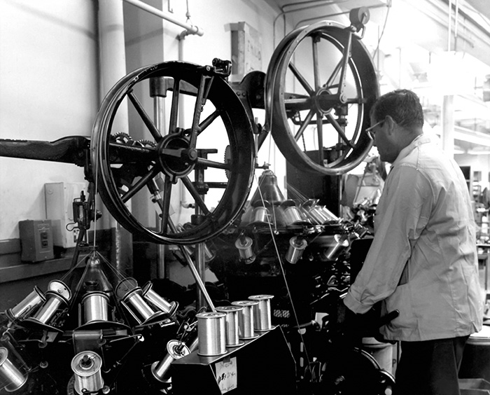 June 2019 PoM - Cable Operations flexible coax shield winding machine. These were repurposed shoelace weavers from the turn of the century.
 July 2019 PoM: Construction of the new Technical Center building 50 from the 1964 Annual Report
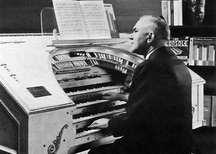 Aug 2019 POM: Howard Vollum at his home organ
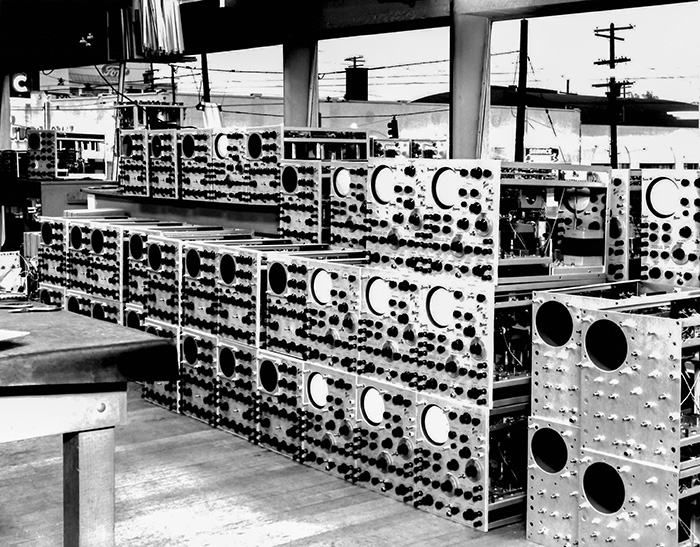 Sept 2019 POM: 511 and 512 oscilloscopes in process at the Hawthorne plant circa 1949
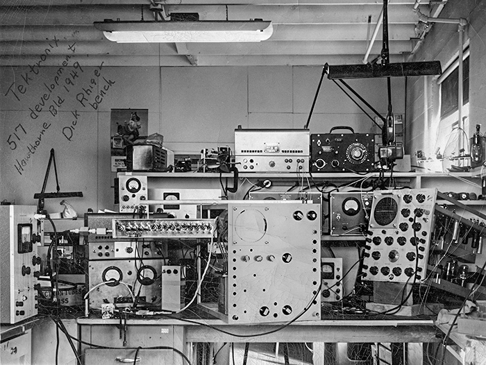 Oct 2019 POM: Dick Rhiger bench at Hawthorne for the 517 Development
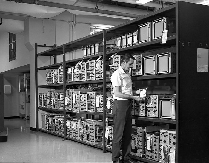 Nov 2019 POM: Building 39 Assembly East first floor shipping dock (at the building south end) in ~1968
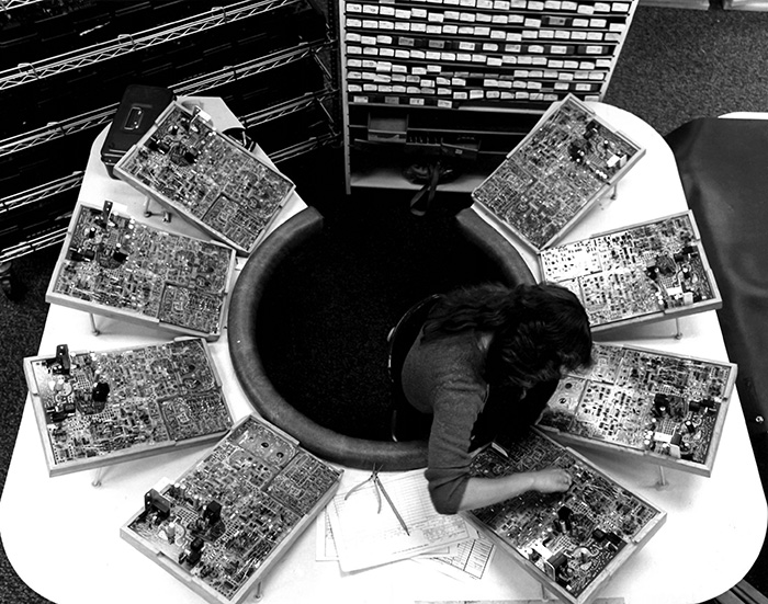 Dec 2019 POM: 2200 Series Oscilloscope high volume line
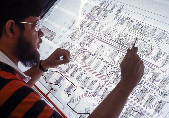 Jan 2020 POM: Hand-taped PCB layout
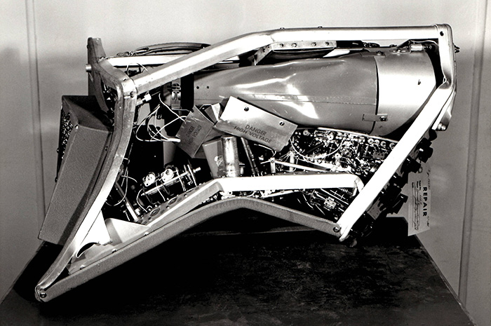 Feb 2020 POM: 524AD oscilloscope sent in for repairs
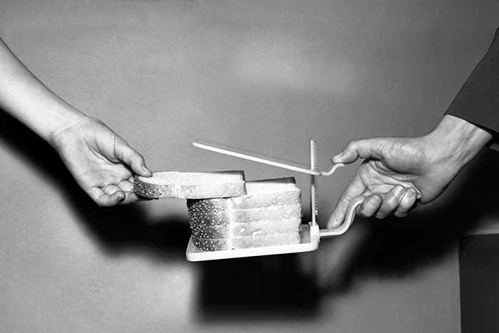 Mar 2020 POM: Used in Tek lunchrooms to keep the bread fresh
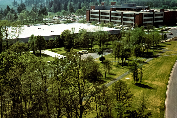 Apr 2020 POM: Tek received an award for beautification of Oregon from Governor Hatfield. Fall 1966 TekTalk.
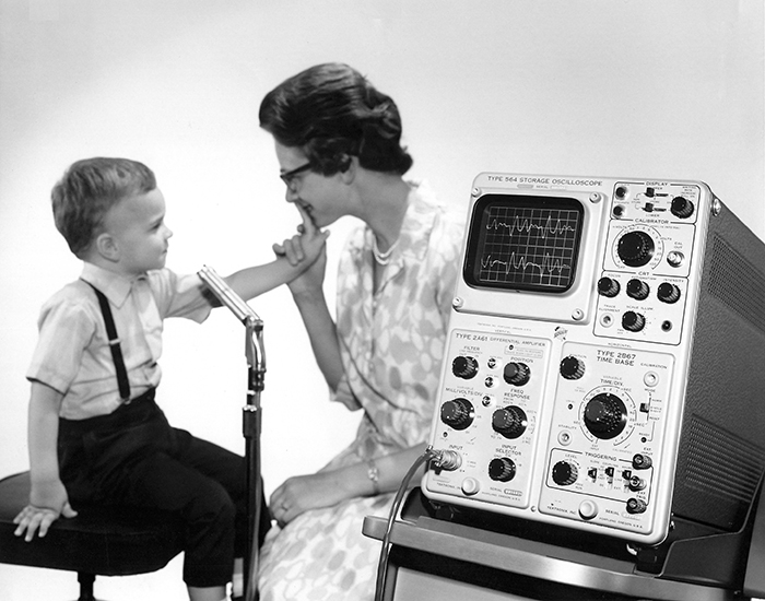 May 2020 POM: John receiving speech therapy at Portland's Tucker-Mason Oral School.
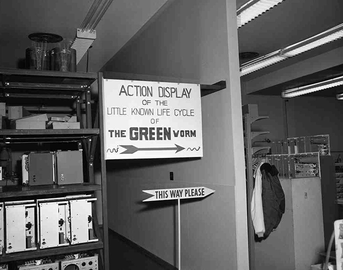 June 2020 POM: Family Night at Plant 2
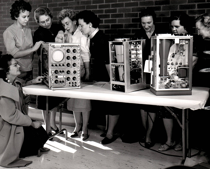 July 2020 POM: Women pointing at a 945 Militarized Oscilloscope. We have no clue.
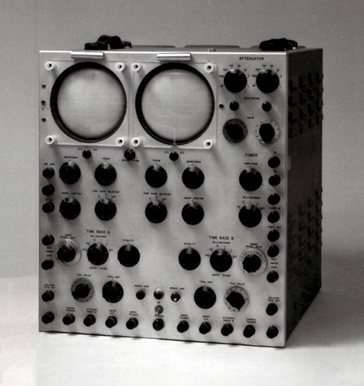 Aug 2020 POM: Mysterious vintage dual CRT instrument. We have no idea.
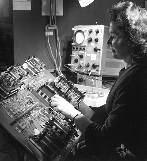 Sept 2020 POM: Employee performing a 422 portable oscilloscope exploded board test.
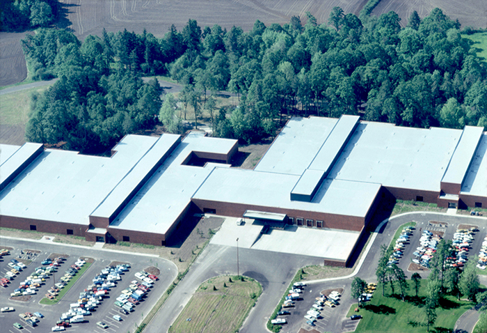 Oct 2020 POM: Wilsonville Bldg 60 prior to the addition of the EMI and Safety lab, ~ late 1970s.
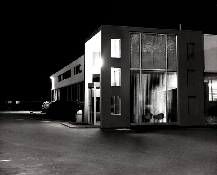 Nov 2020 POM: Night photo of the entrance to the Sunset plant.
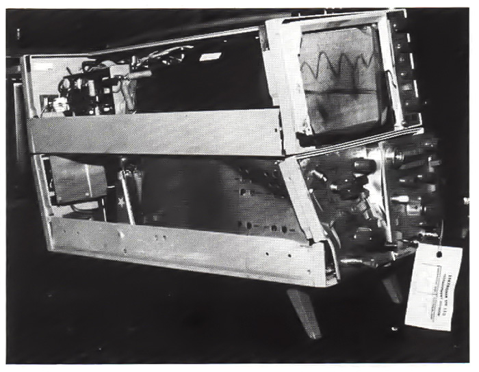 Dec 2020 POM: Telequipment D83 oscilloscope sent in for repairs.
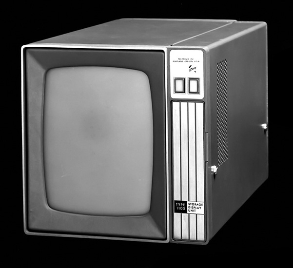 Jan 2021 POM: Type 1100 Storage Display Unit. We do not know if this ever was produced.
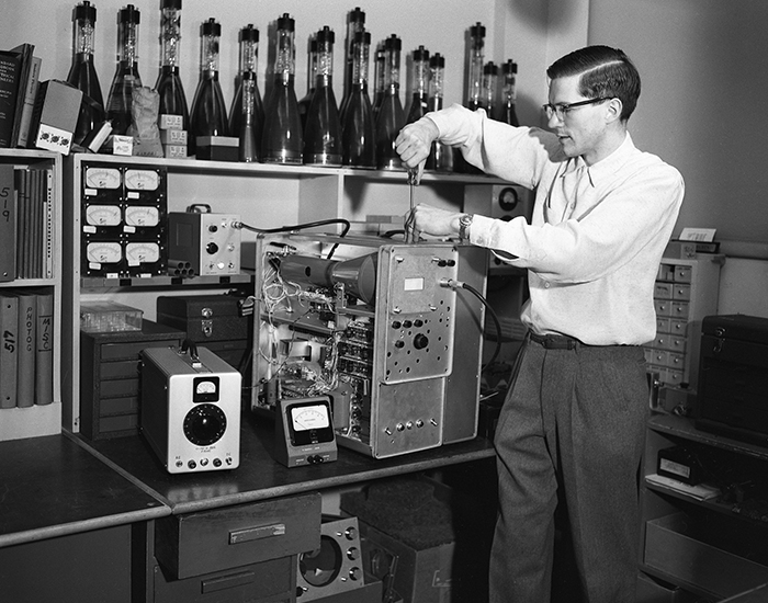 Feb 2021 POM: Cliff Moulton working on a prototype of the 519 1 GHz oscilloscope.
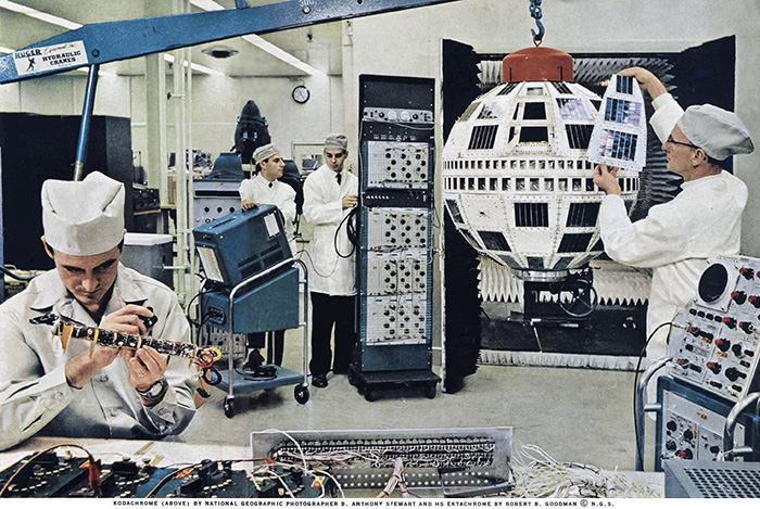 Mar 2021 POM: Telstar development showing 26 Tektronix Instruments - May 1962 National Geographic Magazine
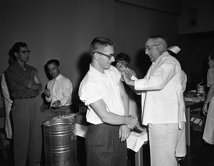 April 2021 POM: Vaccinations at Tektronix, likely polio in late 1950s
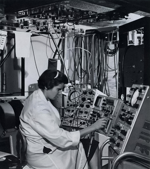 May 2021 POM: Plasma physics research with a 551 and 555 dual beam oscilloscope and a RM567 sampling oscilloscope
 June 2021 POM: Wide-angle photo of Beaverton campus circa 1964 from Jenkins Road
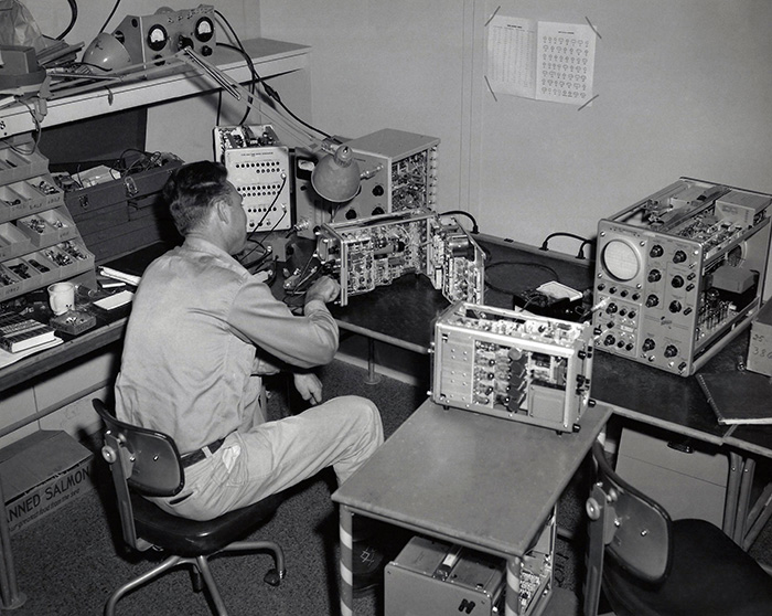 July 2021 POM: Eugene Wilson in Test working on a 310
 August 2021 POM: Manufacturing floor of IBM 1401 computer showing numerous Tektronix oscilloscopes
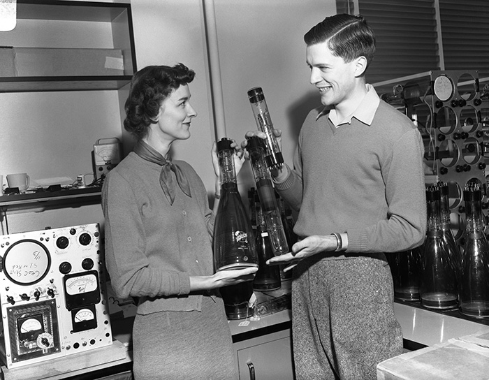 Sept 2021 POM: MariLe and Cliff Moulton, 1954
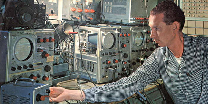 Oct 2021 POM: George Frye testing new design circuits. Photo from the February 1964 Tekalendar
 Nov 2021 POM: 1993 reunion photo of Oliver Dalton's engineering group
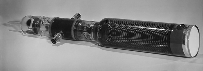 Dec 2021 POM: Prototype T519 CRT with preliminary vertical deflection connectors
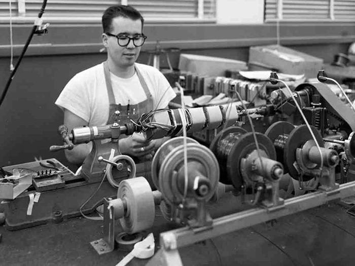 Jan 2022 POM: Bob Cogan winding transformers
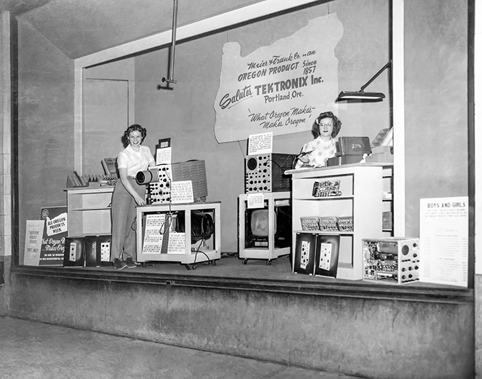 Feb 2022 POM: Tektronix products featured in Meier & Frank storefront window April 1951
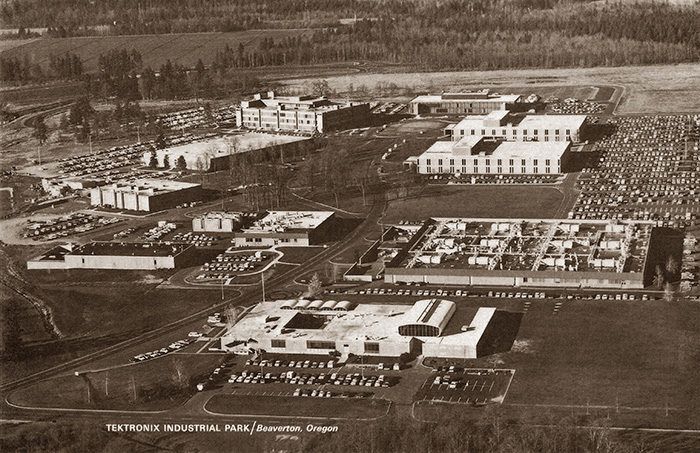 Mar 2022 POM: Placemat of the Tektronix campus probably late 1966 to early 1967
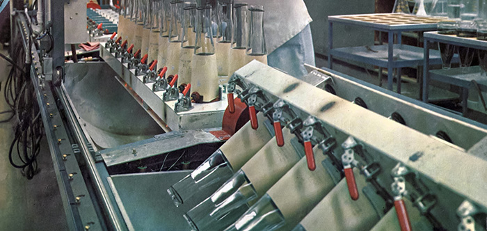 Apr 2022 POM: Decanting CRT funnels from the August 1964 Tekalendar
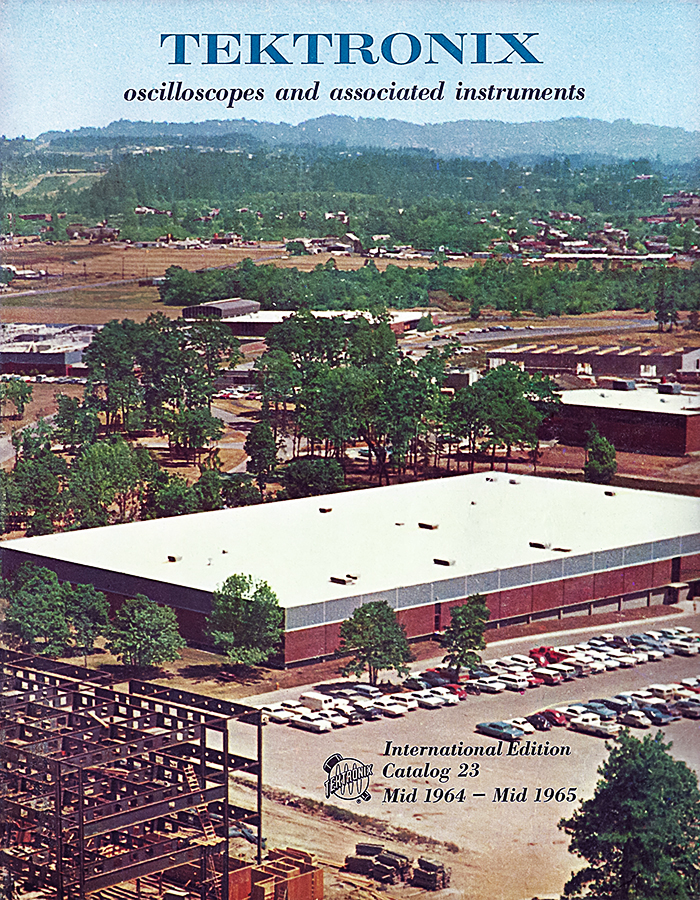 May 2022 POM: Beaverton campus from the mid-1964 - mid 1965 Tektronix catalog
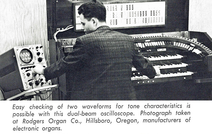 June 2022 POM: 502A dual beam oscilloscope used at Rodgers Organ
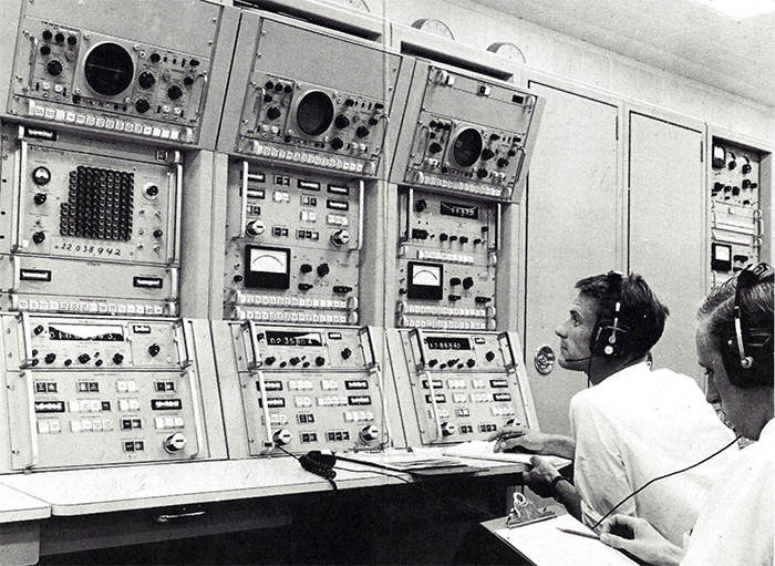 July 2022 POM: Tektronix oscilloscopes used at the Tidbinbilla Deep Space Tracking station in Australia
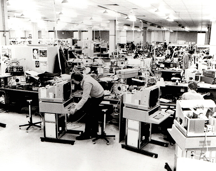 August 2022 POM: 4114 Computer Display Terminal production in Heerenveen
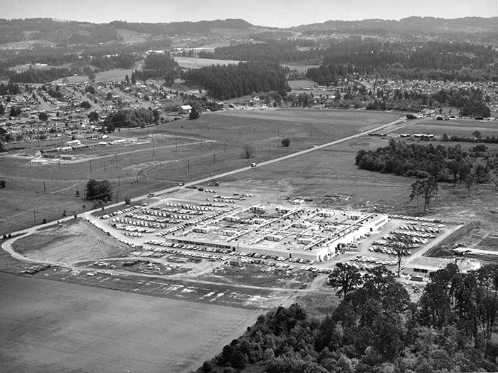 September 2022 POM: Building 19 under construction in 1958 looking NE
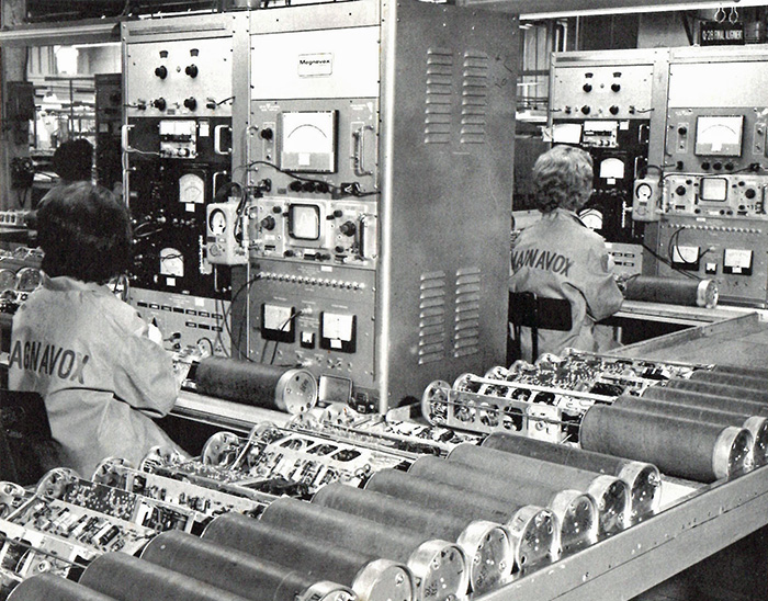 October 2022 POM: Magnavox production line featuring RM561A oscilloscopes with 3A75 and 2B67 plug-ins
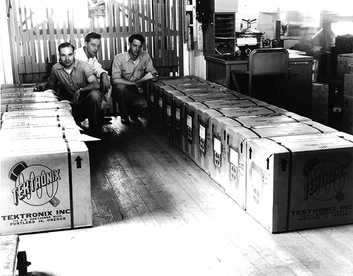 November 2022 POM: A large order of Type 511AD Oscilloscopes from the Hawthorne plant 1950
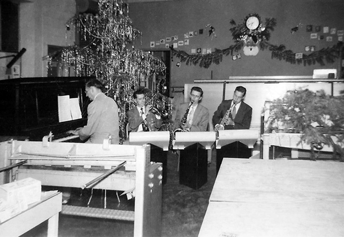 December 2022 POM: 1951 Christmas Party. Tektronix Band members Vern Bartlett, Jack Neff, Doug Prouty, and Jack Gaeth.
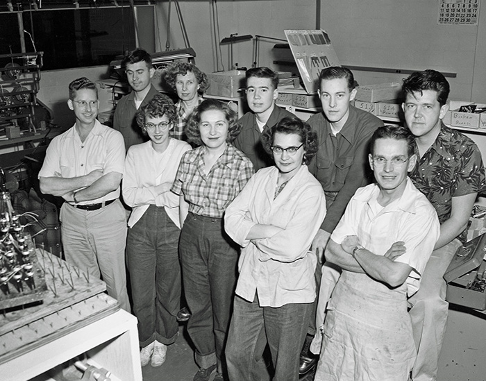 January 2023 POM: Swing shift transformer employees 1951
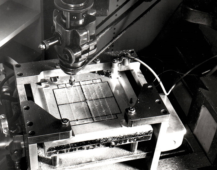 February 2023 POM: Scribing the lines on an external CRT graticule.
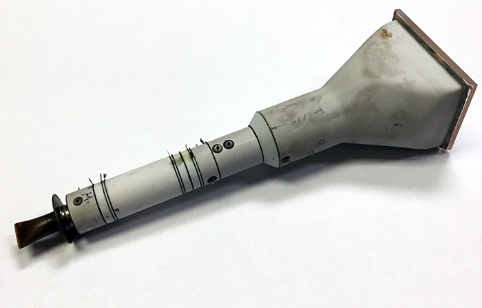 March 2023 POM: All ceramic concept CRT.
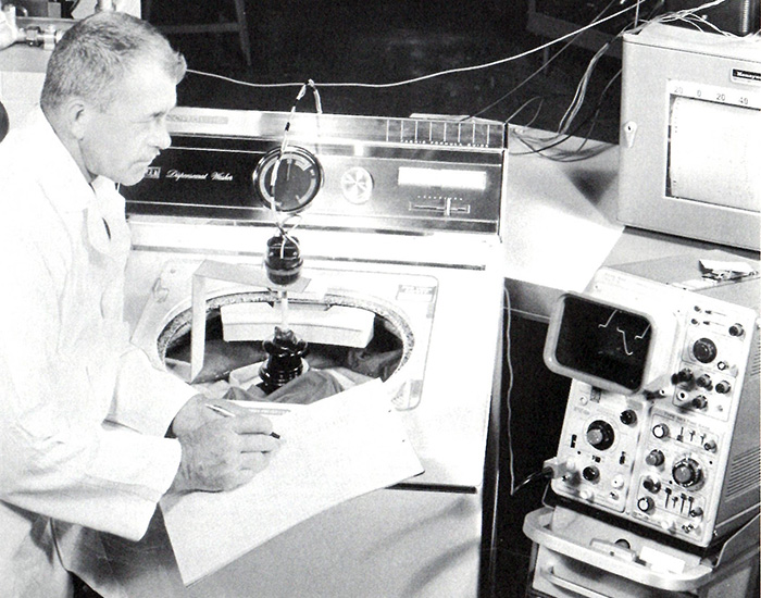 April 2023 POM: 564 used in washing machine testing. Photo courtesy of Industrial Electronics magazine, BBC, and Borg-Warner
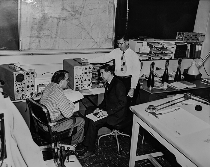 May 2023 POM: Tektronix engineering circa 1959. Deane Kidd is on the left.
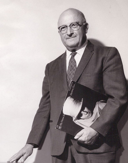 June 2023 POM: The only photo we have of Tektronix co-founder Glenn McDowell
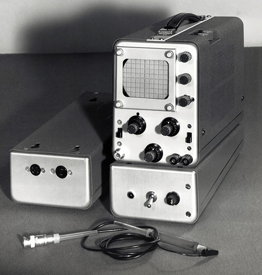 July 2023 POM: Undated photograph of an unknown portable, possibly a concept for the 321.
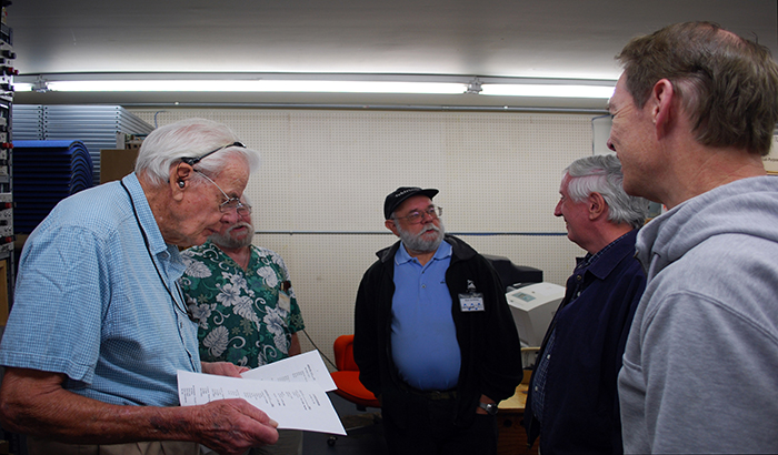 August 2023 POM: John Kobbe, Phil Crosby, Stan Griffiths, John Gates & John Addis on Oct 21, 2011
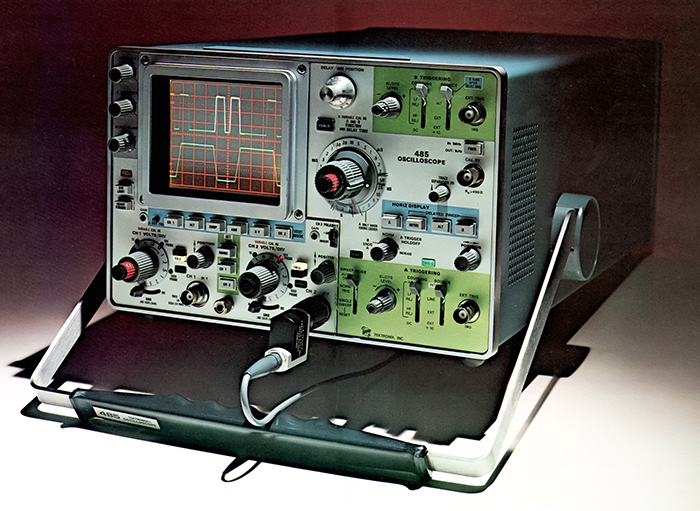 Sept 2023 POM: Promotional photo of 485 350 MHz portable oscilloscope.
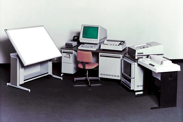 Oct 2023 POM: graphic work system comprised of Tablet, modem, 4081, 4662, 4631,, and 4641.
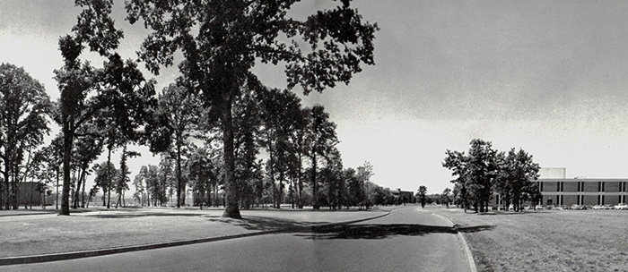 Nov 2023 POM: campus photo from 1965 Annual Report looking west from Karl Braun Dr. Buildings are 38 Electrochem & 46 CRT on left, 47 Assembly on right, and 50 Technical Center in middle.
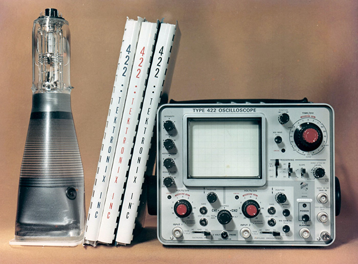 Dec 2023 POM: 422 oscilloscope, manuals, and CRT.
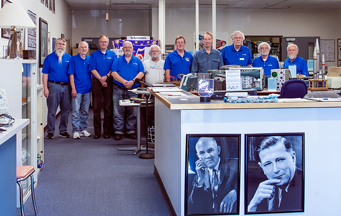 Jan 2024 POM: Museum volunteers (l to r) Dave Brown, Ron Fairley, Andrew Meier, Lorren Fletcher, Phil Crosby, Gary Johnson, John Addis, Bob Haas, Kurt Krueger, and Pat Green.
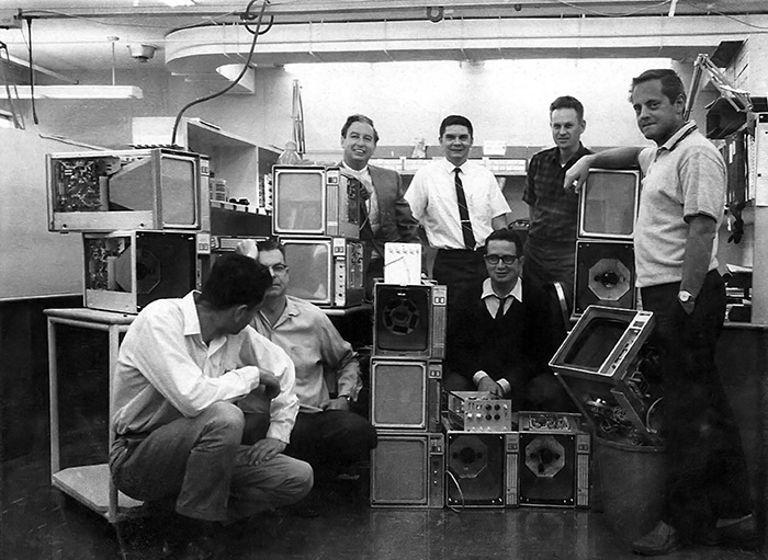 Feb 2024 POM: 611 team L to R: Joe Abid, Leo Heinick, Norm Winningstad, Stu McNaughton, Carlo Infante, Dan Denham, and Walt Lowy.
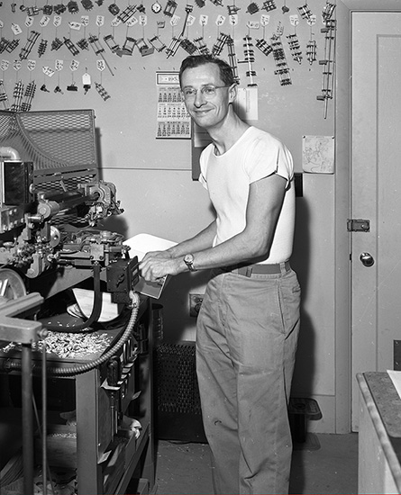 Mar 2024 POM: Employee making wafer switches at Sunset 1953
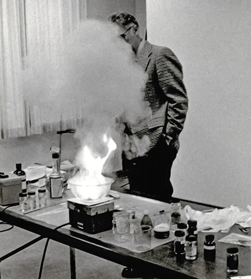 April 2024 POM: Chet Shink performing a safety demonstration
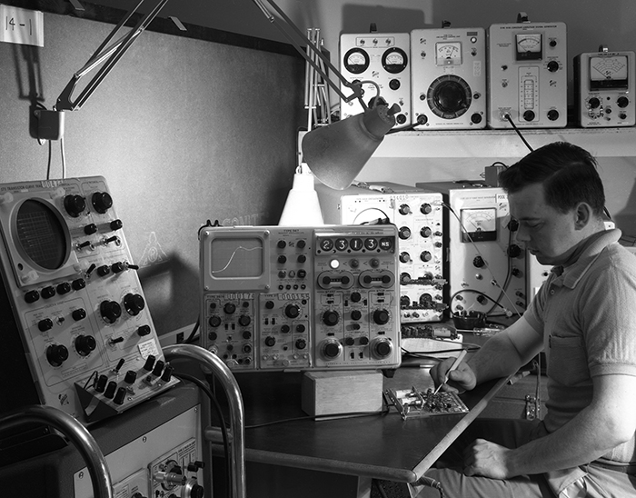 May 2024 POM: A 567 oscilloscope on a well-stocked engineering bench
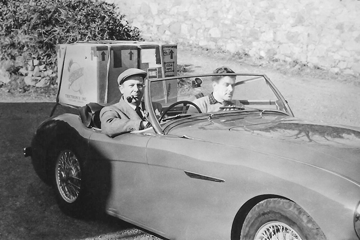 June 2024 POM: Al Hannmann transporting Tektronix products on his Austin Healey 100-4 luggage rack.
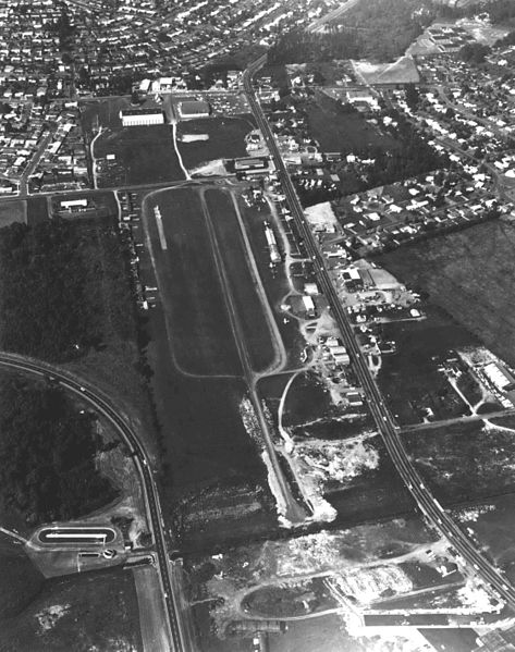 July 2024 POM: Bernard’s Airport directly east of the Tek Beaverton Campus 1966
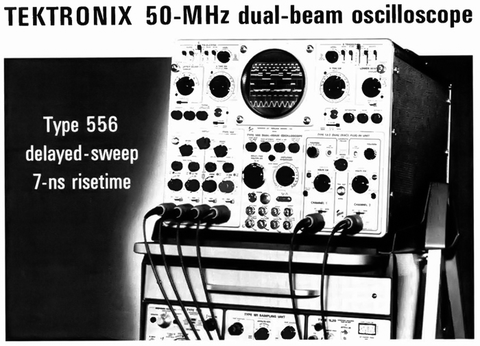 August 2024 POM: 556 advertisement from the February 17, 1969 issue of Electronics
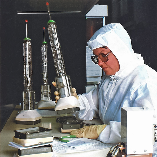 Sept 2024 POM: 1 GHz T7100 CRT being assembled in a clean room
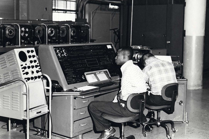 Oct 2024 POM: Type 511A used with UNIVAC I computer at US Census Bureau
 Nov 2024 POM: Painting of the inside of the isostatic ceramic CRT press from the 2025 vintageTEK calendar
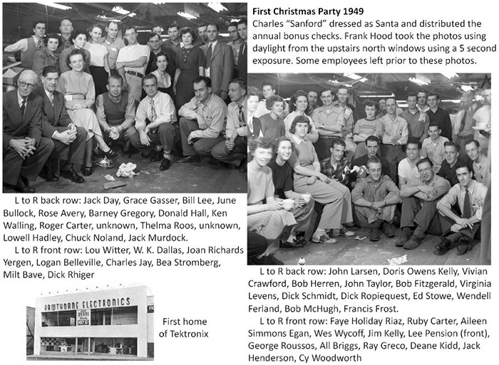 Dec 2024 POM: Photos of the first Christmas party 1949


